Thursday, December 23, 2010
6 YRS CHASING TIMELAPSE 2004-2010
IT IS FINISHED! WITH MY GOAL OF HAVING 2009 & 2010 DONE, I DECIDED AGAINST GOING INTO DETAIL THEREFORE, TURNING MY CHASE CAREER FOOTAGE INTO A TIMELAPSE UP TO 2010...
THIS NEXT YEAR WILL HAVE LOTS OF DIFFERENT GOALS IN CAPTURING STORMS. I LOOK FORWARD TO 2011 AS MANY OF US ARE ALREADY :)
TILL THAN ENJOY THIS VIDEO
P.S. AGAIN I'M THANKFUL FOR EVERY INDIVIDUAL IN MY LIFE THAT HAS BEEN APART SOMEWAY OR ANOTHER THRU THESE 6 YRS CHASED THUS FAR....
Tuesday, December 14, 2010
2010 Collage
It's been great looking through the pics and throwing them in paint. As a piece to the puzzle in creation, this is what the result turned out to be for 2010. I look forward to this 2011 season. Merry Christmas and Happy New Year to everyone.
Enjoy the updated blog thus far.....
Enjoy the updated blog thus far.....
Thursday, December 9, 2010
California 2010 Trip Moab Moment

Going through test and trials with this new photo editing application with Puppy Linux. Will be making changes soon on blog once all is configured and created.
2010 year is wrapping up nicely with Christmas around the corner and the New Year. I'm looking forward to finishing off these continuous Christmas commercials that's for sure.
Moab is a place of beauty and wonder. If any of you have the opportunity to go and experience this amazing National Monument. DO IT! Anyways I will post the lenticulars from Nevada once I get around to them.
Friday, December 3, 2010
Teaser part of California 2010 Lenticular Moment

This taken in Reno, Nevada.....more to come!
Will post the rest of the parts to California 2010 trip when I return to base.
Monday, November 29, 2010
Part 3 & 4 California Trip 2010

http://www.yoloberryyogurt.com/dance.html
It was a drizzling morning in Davis, California....we headed out to get breakfast where they saw chocolate lasagna.

Course I got the french toast action which sounded more edible to breakfast mode. Dann Cianca txted me a message of activity making its way into Davis. A "see text" outlook was in the forecast and my eyes were open to anything bound to happen in the Sacramento Valley. Rain was imminent today! Hoping for a little daytime heating in the afternoon as the morning rain settles, we were set to get some convection. We went to an amazing yogurt store that had an amazing variety of 101 toppings. MMMMMMMM good- Being a wimp I only had samples of the yogurt because it was already cold outside, and this was CALIFORNIA....grrr rain.
I had me a handful of toppings to enjoy, which was better than staring all 101 toppings down.
Dad and I than went on our way westward once again on I-80 towards San Francisco. With smooth sailing traffic all the way, we actually made good time considering this to be insane when it comes to traffic congestion.


As we made it 16 miles to Vaccaville, CA, the sun began to come shining through allowing the convection near each of the hills in each valley to force up some convection. Cali Convection was something I thought I would miss, but it turned out to be just on time. I snapped away carefully knowing full I would have to be very aware of what was happening on I-80. With consuming traffic, my awareness level went to Mach 6. Enjoying but bewaring. I caught some amazing convection with the sun creating those crespecular rays shining through into the valleys.
The funny thing was I had this scheduled route that would leave me taking another route. I was supposed to turn south, but instead decided to punch the core. Making our way into the core of the city of San Fran we saw the San Francisco bridge in the distance along with convection over the bay.


This active cumulus tower created a horizonal roll near the base of the cloud. Very exciting. Once again having to be very aware of the chaotic traffic. Pictures can be obscure, but they are unique in moment. This was an amazing drive to our destination of Palo Alto, CA south of San Francisco. The last hoorah, would be getting on the south end of the convective building and watching the sunset over another bay. As it passed over the sun on the backside refracted a beautiful rainbow over the street to our resting destination.


The uncles and cousins of the family shot:

Waking up Sunday, this was a casual day of relaxation in a store called Fry's. lol.

This heavenly electronic store provides everything a guy wants realistically or in dream world mode. Ebay and Amazon are in this store. It was a good day.
Saturday, November 27, 2010
Part 2 California Trip 2010

After a slow start, but with no intention of being in a hurry, we enjoyed some continental breakfast. Why is it called continental when there are just bananas & cereal? lol. Frosted Flakes (they're grrrrrrreeat). Heading west across 400 miles of Nevada territory, we saw the aftermath of the blizzard affecting half of the state leaving the rest slowly turning into a snow shadow. Some very beautiful scenes were made for what can be potentially boring when driving in hot and normal conditions. Snow has very unique characteristics as far as depth, shiny ness, and direction of wind frozen at the tops of snow that was melted than frozen again as a day came and passed.


Winnemuca got a good portion of what looks to be the heaviest snow amounts that didn't get determined by flat windy conditions. This town located in a tight valley with miny sierras (extending from Sierra Nevadas lol). Pretty artificial looking as if it was a set backdrop.

Reno was in an inversion as downsloping winds kept conditions cool in the valley and smog surronded the casino city. Observational moments occurred all across the upgrade and downgrade of the Sierra Nevadas on the border of Nevada and California.


High Pressure breaking down over the Sierra Nevadas left cirrocumulus to give off cirrus iridescence to peak refract through the skies.


Another round of rain is making its way into Northern California bringing chances of rain and thunderstorms to the Sacramento Valley.
Now we have made post at Davis, Califoria with family & will wait for this system to passerby. Goodnight.
Friday, November 26, 2010
Part 1 California Trip 2010 Thanksgiving Day

Initiation Salida, Colorado. Having to wait out the massive blizzard that hit western half of the United States, my dad and I were now ready to take the grand adventure. My eyes were open to any meteorology, first off we saw evaporation all across a lake. This evaporation was quickly condensing due to the extreme cold temperatures trapping the vapor trying to escape upwards all across the lake known as the Blue Mesa Reservoir between Gunnison and Montrose Colorado.

As we drove further valleys varied in the amount of snow received based upon how orographic nature played a role in snow totals. The canyon just before coming into Montrose was really beautiful.
FAST FORWARDING.....
Just north of Price, UT I saw an opportuned beautiful shot of steam rising from plant in the canyon lit up.

Driving the canyon, we went from Price, UT @ 22 degrees to the top of the pass at 7742 feet with 9 degrees
This would not be the coldest temp recorded though.....after Salt Lake City, we began our descent westward to Cali on I-80 where watching the temp, it went from 16-17 degrees into the depths of the mouth of Salt Lake where it got to 8 degrees. The Salt Flatts area was surprisingly warmer....oversight of course lol. 14 degrees on the Salt Flatts still sucks. And oh did I mention the sun went down starting at Price, UT. Anyways just enjoying the meteorological aspects of this trip and sharing.....now we rest in Wendover, UT not West Wendover a block away in Nevada! lol
I'm thankful to share this with you as my Happy Thanksgiving :)
Sunday, November 21, 2010
"Storms That Have Been Chased:" August 15th Lifting Mechanisms
It was quiet. On a dirt road just a little east of Nunn, Colorado. The time was 3ish. Hot and humid filled the surface air. Standing out looking northeast, the only cell for as far as the eyes could see had moved beyond my interest therefore dieing out. A rainbow phhhhed out this Colorado northern plains cell. It was at this point I turned my interest in convection coming off the Rockies caused by orographic lifting soon dwindling into the upper level high pressure system soon to meet fate. With the conditions of weak upper level shear, anything that convected off the mountains couldn't uphold to continue through the eastern plains. I made what I could of this beautiful Colorado day. Following and watching convection produce southward than dieing, producing, dieing, it was obvious I would be capturing unique moments of cumulus congestus with the sun slowly setting as time progressed. All in all, I got some nice shots. They are worth this blog post. Enjoy!


Next blog post will be the following day, a boundary day indeed with more upper level support near the Cheyenne Ridge for yet another cell but this would reach the northern plains to soon to become super enough :)


Next blog post will be the following day, a boundary day indeed with more upper level support near the Cheyenne Ridge for yet another cell but this would reach the northern plains to soon to become super enough :)
Another Round of Freezing Fog

Today as the fog receded west along the mountains most of the skies broke open from daytime heating. As soon as midnight struck, the surface rapidly cooled once again fog at an incredible rate raced over the north section of Denver. In Aurora, it would be round 2, but south part of Denver was having trouble producing fog conditions. A warm front from the south creeping over the Palmer Divide most likely kept the fog from fully condensing leaving a form of stratus tending into fog as it progressed further north. Only took a photo from tonight, and I don't have a Nikon or expensive camera to really play with cool effects in fog. A favorite is people walking in the distance with that dense fog pushing around them.
Looking at the B/W Satellite imagery, you can see noticeable stratus/fog layered on satellite reaching parts of Northern WY, Nebraska, Kansas, and parts of the Oklahoma panhandle.

Here is the wonderful surface KDEN plot, showing freezing fog, warm front, and more fog.

Saturday, November 20, 2010
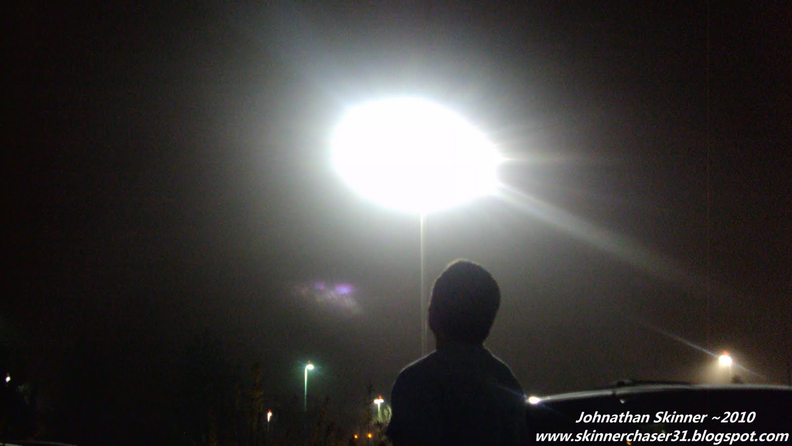
Fog After Midnight in Aurora, Colorado

A late one only to look out my window and see FOG. I was researching on fog forecasting, and had a long discussion with Dann Cianca about this. Ironic because neither of us, I'm sure said hey there's gonna be fog tonight. Only an hour after Dann left around midnight, fog busted out! With low winds calm, moisture leftover after a small frontal passage earlier the day before, and temperatures reaching the 20's created the opportunity for a cloud to be created at the surface. I went outside to play in the cloud, and it was cold. This is excellent for waking up.
Here is the timelapse video clip: (P.S. I now realize I named it Fog "at" Midnight when it was just a little after Midnight)
my friend Rob enjoying the fresh cloud air

Thursday, November 18, 2010
The Sunrise, The Lenticular, The Cirrus Iridescence


Today's phenomenonal November Colorado day gave way to some astonishing meteorological waypoints. It would be the first to be able to directly stare at the sun without it burning my eyes out. A wave cloud dominating over most of the front range created for some amazing photo opportunities.


If you want to check out the grand finale, check out Dann Ciana's sunset pics clink link: http://blog.bigskyconvection.com/2010/11/catching-wave-sunset-surfing-in-denver.html
for video timelapse click link:
http://skinnerchaser31.blogspot.com/2010/11/sunset-over-denver.html
Subscribe to:
Posts (Atom)


