


Last episode took us through Oklahoma, but this will be a great episode being in NoCo(Northern Colorado). With moisture available from the previous upslope moisture pouring over Northern Colorado the day before, dynamics of potential cells could be severe with possible isolated tornadoes. I was excited to wake up with temperatures beginning to rise fairly quickly even with the rain the previous night. By morning daytime heating kicked it off early. Development began to cover along a Byers to Wiggins line, and continued on up to WY/CO border along I-25.
I began driving to Wiggins, CO to catch up with a cell that developed to the south, but reports of funnels were already being reported on that storm too early. This making it not reasonable to drive down there when new storms were firing up to the north where I was going to be near Wiggins. A friend of mine I dragged along to enjoy a day out in the plains, noticed a base to his south while I was looking at the cu field and blue skies above with an anvil that seemed to have formed from the southern cell progressing northwest.

The wind shear was definitely there; it was a matter of whether or not there would be enough lowlevel shear and whether these cells forming would line out becoming no longer discrete rather embedded.

Ben Heckel my copilot was left in charge with mapping and listening to weather radio, while I go run around the fields watching the slowest moving cell.


This cell began to structure very nicely and a meso formed along with lowering at times from the evaportransporation of the rain falling on the backside of the isolated cell. The main cell to the south was still on my mind, but it was of no concern since it would have been pointless. I received a phone call from Corey Green who lives in Bennett, CO and has parents who happened to witness the funnel cloud near Byers that Corey ended up reporting to the National Weather Service. Thanks to Corey Green, he sent me a couple photos via email. :)


With this positive report I became excited for our chances to see this type of funneling or strong rotation to say the least. We saw rotation, not strong, but wasn't enough in time before the cell was choked up by the cell to the south.


Ben listening to NOAA heard tornado warnings were issued for towns near the border of Wyoming and Colorado. At this point, being in Wiggins we were out of position to go back up northwest towards the mountains. I decided to drive back to Greeley to at least catch up to the tornado warnings that were being reported NW of Greeley.


The storms at this point had lined out and produced an outflow pushing towards us just before getting into Kersey, CO just east of Greeley. We watched to our southwest, just before lining out a very strong meso base was apparent.


Radar Archives:

This radar capture shows the isolated cells along this convective line.

at a later time, we see that cells from Wiggins to Byers have lined out, and while driving back to greeley this was the cell with the strong outflow boundary
Fact 1: This outflow is the trigger to a continuous fluid play of outflows that would trigger the Oklahoma City, OK (baseball,softball hail mega storm on the next day May 16th 2010, Click on link to watch the amazing hail:
http://www.youtube.com/watch?v=OFv2W7Duqiw
500 mb Vorticity Archives:


These two vorticity maps show the vital reasons for tornadoes reported on the border of Colorado and Wyoming near I-25. An area of vorticity max can generate enough energy to support a very unstable atmosphere connecting to Earth.
All in all, it was a nice day to be close to home on a chase.

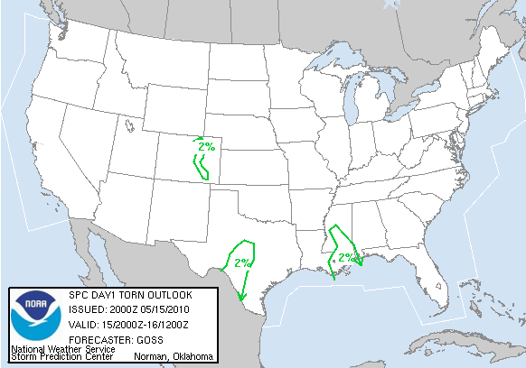
Reports:
None


3 comments:
Ya' can't win if ya' don't play, right? I think we were in SE CO on the day. Lol.
there were isolated cells down there too, so anything was possible, did you get one of those hail reports?
While we didn't actually make the hail reports, we did get some hail; pennies if I recall correctly. It was a successful day structure-wise. I don't have a full report up yet, but I did put up a teaser page: http://blog.bigskyconvection.com/2010/05/2010-storm-chase-13-teaser-may-15th.html
Post a Comment